This is the fourth article about our Wilderness Travel Haute Route hike. Links to the other three articles are provided at the end. This article covers the hike over the Pas du Chat and the Pas de Chèvres, and then a day hike from Arolla village to the foot of the Arolla glacier.
Minutes after we left the Prafleuri hut and started climbing toward our first pass of the day, we passed this ibex. This was the least shy of all the ones we saw. He continued foraging as our entire group hiked past within 50 feet. This is a phone photo, so not so sharp, but better than nothing.
As soon as we reached the first small pass of the day, we could see the massive Lac de Dix. It took a couple of hours of hiking to get around to the upper end, where we would start ascending to the Pas de Chat and the Pas de Chèvres. There's a big thing about the cows in this area - they're almost all cows, and they do have horns. There is a regional cow fight event every year, and it's a big deal to have the winning cow. These cows near the lake spontaneously started sparring right in front of us. They would scrape the ground with a front hoof, then charge one another. The fighting stirred up a big dust cloud. There was a big bare patch of earth there, worn down by their many fights.
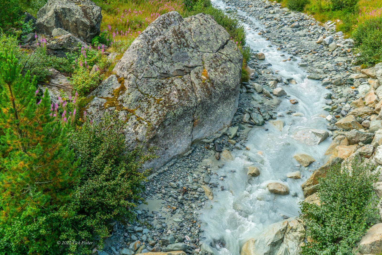
After another hour of hiking, we reached the Pas du Chat (Cat's Pass). We crossed this huge glacial runoff stream near the pass. A bridge is required because it's almost always too powerful and dangerous to cross on foot.
After the bridge, we crossed a flat marshy area, and then started to ascend on a lateral moraine (pile of rocks hundreds of feet high pushed aside by a glacier over many years). Here we are picking our way along the rocks, looking forward to the smoother trail up ahead.
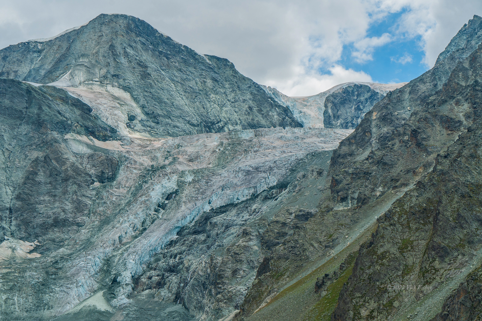
I've always loved the serpentine shape of the flow of the glaciers down a valley, and this is a great one. It really illustrates how the glacier moves like water, but too slowly to see. I also love how there is a ridge of ice, several hundred feet thick, in the upper center of the photo, to the left of the peak. You have to look carefully, as it almost blends in with the sky. The rocky area in the middle of the two streams of ice (bottom center) is really deceptive, as it's actually a thin layer of rock, with glacier underneath. One of the members of my group used topo maps to determine that this is Mont Blanc de Cheilon. There are a few different Mont Blancs de something in the Alps, but there is only one called simply Mont Blanc.
 |
The approach to the ladders up to the pass was so steep they had added chains to hang onto. There was another group in front of us, and they were already going up the ladders as we worked our way across the chains. This was one of only a couple of other groups we saw, and we were only near them at the pass. The trail was never crowded. The ladders can be seen in the upper left corner of the photo.
 |
Here's how it looked once I made it to the top and saw Carol coming up behind me. If you're looking at this on a computer screen (as opposed to a phone), you'll be able to see a group of people going one at a time across the chains below. From this altitude, Lac de Dix is a bit more visible in the background (upper center of photo).
One of the reasons I love hiking is the feeling when I reach a new viewpoint, and a vast new landscape is revealed. The Alps didn't disappoint!
After the pass, we started down the other side toward the tiny village of Arolla. We were hiking past a massive, steep glacier spilling into the next valley. The mountain the glacier is on is Pigne d'Arolla, and the glacier itself is Tsijiore Nouve. What a strange name. Not even sure which language that is. As with all of the other glaciers, there are large areas along its course where the glacier has melted away, exposing barren rock.
A closer view.
That afternoon, we arrived at a lone hotel surrounded by forest, with views across the valley to more mountains with "tooth" in their names, and the same glacier looming over us. We all rushed to take our hot showers and change into fresh clothes.
The next day, we skipped the town tour and went on a short day hike up to the foot of a different glacier, the Glacier d'Arolla. The hike went down through the town to the stream, and them back up along the stream.
The waterfall coming off of the glacier was really huge. We hiked past the signs that said "don't go past this sign" to get this close. We were the only people there until we turned around to leave. The rocky area near the foot of the waterfalls is actually ice covered in rock.
Here's a six-second video of the waterfall.
This picture shows the ice under what is at first glance just a jumble of rock. At the top of the photo is the surface of dry rock, and in the middle is where the ice under the rock has cracked and melted, opening up an ice cave. The ice above this cave entrance looked to be about sixty feet thick. I wanted to go closer, but common sense prevailed. There's no announcement before the next ice cave cracks open, or this one collapses. We knew the ice was being weakened by one of the hottest European summers in the last two hundred years.
On the way back, we found the trail had been occupied by a flock of sheep.
That's all for this post. Next up are the hikes from Arolla to Grimentz, and our last day of hiking approaching Zermatt.


No comments:
Post a Comment