Blog Archive

Thursday, October 20, 2022

Haute Route Hiking in the Alps: Pas de Chèvres and Arolla

This is the fourth article about our Wilderness Travel Haute Route hike. Links to the other three articles are provided at the end. This article covers the hike over the Pas du Chat and the Pas de Chèvres, and then a day hike from Arolla village to the foot of the Arolla glacier. 

Minutes after we left the Prafleuri hut and started climbing toward our first pass of the day, we passed this ibex. This was the least shy of all the ones we saw. He continued foraging as our entire group hiked past within 50 feet. This is a phone photo, so not so sharp, but better than nothing. 

Ibex, Swiss Alps, Switzerland, mountains, hiking, outdoors, Prafleuri Refuge

As soon as we reached the first small pass of the day, we could see the massive Lac de Dix. It took a couple of hours of hiking to get around to the upper end, where we would start ascending to the Pas de Chat and the Pas de Chèvres. There's a big thing about the cows in this area - they're almost all cows, and they do have horns. There is a regional cow fight event every year, and it's a big deal to have the winning cow. These cows near the lake spontaneously started sparring right in front of us. They would scrape the ground with a front hoof, then charge one another. The fighting stirred up a big dust cloud. There was a big bare patch of earth there, worn down by their many fights.  

Swiss Alps, Switzerland, cows, fighting cows, trails, mountains, hiking, outdoors, Lac de Dix

After another hour of hiking, we reached the Pas du Chat (Cat's Pass). We crossed this huge glacial runoff stream near the pass. A bridge is required because it's almost always too powerful and dangerous to cross on foot. 


After the bridge, we crossed a flat marshy area, and then started to ascend on a lateral moraine (pile of rocks hundreds of feet high pushed aside by a glacier over many years). Here we are picking our way along the rocks, looking forward to the smoother trail up ahead. 

Pas de Chèvres, Swiss Alps, Switzerland, mountains, hiking, outdoors, glacier

This is after over an hour of steep climbing. The climbing is almost over. There's a sense of anticipation as we near the Pas de Chèvres, which requires going up a series of steel ladders bolted into the mountainside. 

Pas de Chèvres, Swiss Alps, Switzerland, mountains, hiking, outdoors, glacier

I've always loved the serpentine shape of the flow of the glaciers down a valley, and this is a great one. It really illustrates how the glacier moves like water, but too slowly to see. I also love how there is a ridge of ice, several hundred feet thick, in the upper center of the photo, to the left of the peak. You have to look carefully, as it almost blends in with the sky. The rocky area in the middle of the two streams of ice (bottom center) is really deceptive, as it's actually a thin layer of rock, with glacier underneath. One of the members of my group used topo maps to determine that this is Mont Blanc de Cheilon. There are a few different Mont Blancs de something in the Alps, but there is only one called simply Mont Blanc. 


Here's the view looking back the way we came. The gigantic Lac de Dix, the one with the fighting cows, looks small from this distance. It's the small patch of light gray water in the upper center of the photo.  

Pas de Chèvres, Swiss Alps, Switzerland, mountains, hiking, outdoors, Lac de Dix, glacier

The approach to the ladders up to the pass was so steep they had added chains to hang onto. There was another group in front of us, and they were already going up the ladders as we worked our way across the chains. This was one of only a couple of other groups we saw, and we were only near them at the pass. The trail was never crowded. The ladders can be seen in the upper left corner of the photo.  

Pas de Chèvres, Swiss Alps, Switzerland, mountains, hiking, outdoors, Lac de Dix, glacier
This is a cropped view of the above photo, where you can see four steel ladders, with platforms between them, plus one of the older ladders in the lower right. The rear part of the group up on the platform is enjoying the scenery while they wait for the others in their group to climb the ladders.  

Pas de Chèvres, ladders, Swiss Alps, Switzerland, mountains, hiking, outdoors, Lac de Dix, glacier

Here's how it looked once I made it to the top and saw Carol coming up behind me. If you're looking at this on a computer screen (as opposed to a phone), you'll be able to see a group of people going one at a time across the chains below. From this altitude, Lac de Dix is a bit more visible in the background (upper center of photo).  

Pas de Chèvres, Swiss Alps, Switzerland, mountains, hiking, outdoors, Lac de Dix, glacier

One of the reasons I love hiking is the feeling when I reach a new viewpoint, and a vast new landscape is revealed. The Alps didn't disappoint! 

Pigne d'Arolla Swiss Switzerland mountains altitude hiking outdoors

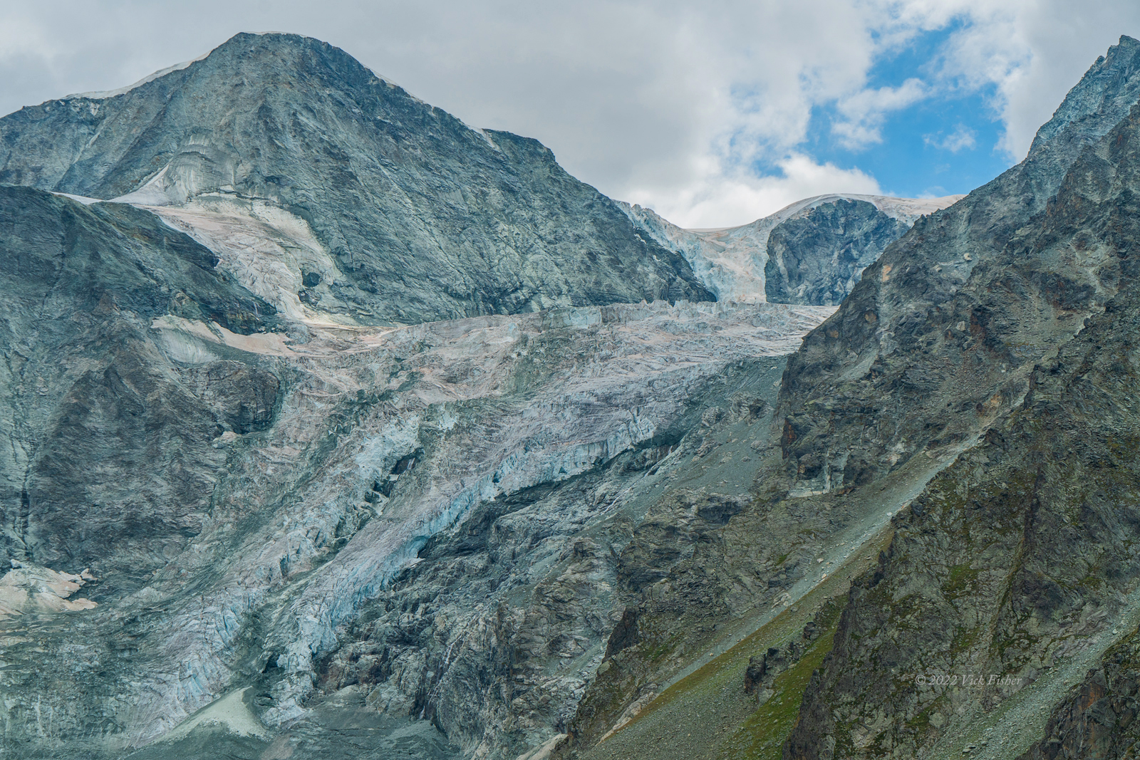
After the pass, we started down the other side toward the tiny village of Arolla. We were hiking past a massive, steep glacier spilling into the next valley. The mountain the glacier is on is Pigne d'Arolla, and the glacier itself is Tsijiore Nouve. What a strange name.  Not even sure which language that is. As with all of the other glaciers, there are large areas along its course where the glacier has melted away, exposing barren rock. 

Pigne d'Arolla mountain peak glacier Tsijiore Nouve Swiss Switzerland hiking outdoors

A closer view. 

Pigne d'Arolla mountain peak glacier Tsijiore Nouve Swiss Switzerland hiking outdoors

That afternoon, we arrived at a lone hotel surrounded by forest, with views across the valley to more mountains with "tooth" in their names, and the same glacier looming over us. We all rushed to take our hot showers and change into fresh clothes. 

The next day, we skipped the town tour and went on a short day hike up to the foot of a different glacier, the Glacier d'Arolla. The hike went down through the town to the stream, and them back up along the stream. 

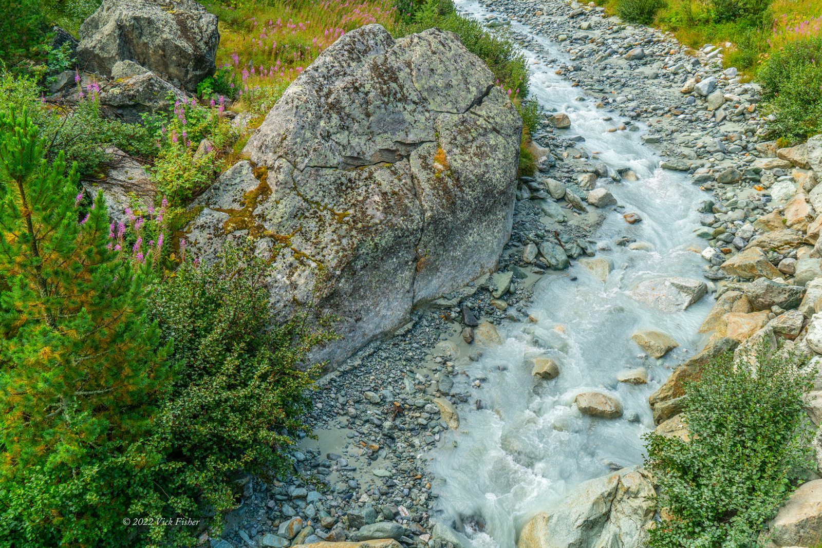
Borgne d'Arolla Switzerland Alps Swiss hiking outdoors stream water boulder forest

The waterfall coming off of the glacier was really huge. We hiked past the signs that said "don't go past this sign" to get this close. We were the only people there until we turned around to leave. The rocky area near the foot of the waterfalls is actually ice covered in rock.   

Arolla Glacier Waterfall Switzerland Alps mountain hiking outdoors

Here's a six-second video of the waterfall. 


This picture shows the ice under what is at first glance just a jumble of rock.  At the top of the photo is the surface of dry rock, and in the middle is where the ice under the rock has cracked and melted, opening up an ice cave. The ice above this cave entrance looked to be about sixty feet thick. I wanted to go closer, but common sense prevailed. There's no announcement before the next ice cave cracks open, or this one collapses. We knew the ice was being weakened by one of the hottest European summers in the last two hundred years.


On the way back, we found the trail had been occupied by a flock of sheep. 

Sheep in Arolla Valley Swiss Alps Mountains Outdoors Hiking Forest

That's all for this post. Next up are the hikes from Arolla to Grimentz, and our last day of hiking approaching Zermatt. 


Sunday, September 4, 2022

Haute Route Hiking in the Alps: Mont Fort to Prafleuri Hut

After the first few days of hiking, we reached the Mont Fort Hut. The hike to Mont Fort goes through a couple of rural towns, so a bit more civilized areas. Walking right out of the hotel in Champex around 6:45 AM, we passed Lake Champex.


A little while later, we came up on some goats with their kids. This is a classic example of aerial perspective, which was first used in art by Leonardo DaVinci. He used to mock other artists who painted with the same color of green for trees in the distance as trees in the foreground.  


They were curious and came close to the (potentially) electrified fence to take a closer look at us. We saw these electric fences everywhere, but never got shocked. They were just colorful nylon ribbons connected to a car battery, maybe. Most of them weren't on. But the animals learned to steer clear of them from times when they had been on. He looks very dashing with that stylish collar.   


On the hike from the ski (and mountain biking) town of Verbier to the Mont Fort hut, we had early views of the a high mountain with a big glacier called Gran Combin. Huge bunches of these purple flowers were growing wild wherever we hiked on this trip. 


The next morning, we started probably the hardest day of the hike. There were three passes. I think we got going by 6:30 in the morning to be sure we had enough time. The stay in Mont Fort included a big dinner with good food and wine, and six-person bunk bed rooms. They had only four shared showers. The showers had a timer that lasted only two minutes. But, it turned out there was lots of water pressure and hot water, and the timer didn't count if you turned off the water. So, it really wasn't an issue at all. 

This is the view looking back at Mont Fort after about ten minutes of hiking. This whole area is used for skiing in winter.  They have snow makers built into the mountain in case there's not much snow, which happens more often these days.

Swiss Alps, Haute Route, hiking, outdoors, wilderness, mountains, nature, beauty, rivers, tree line, altitude, big sky, valley, trail, Prafleury, Mont Fort, mountain hut, cabane, montaigne, randonner, valle

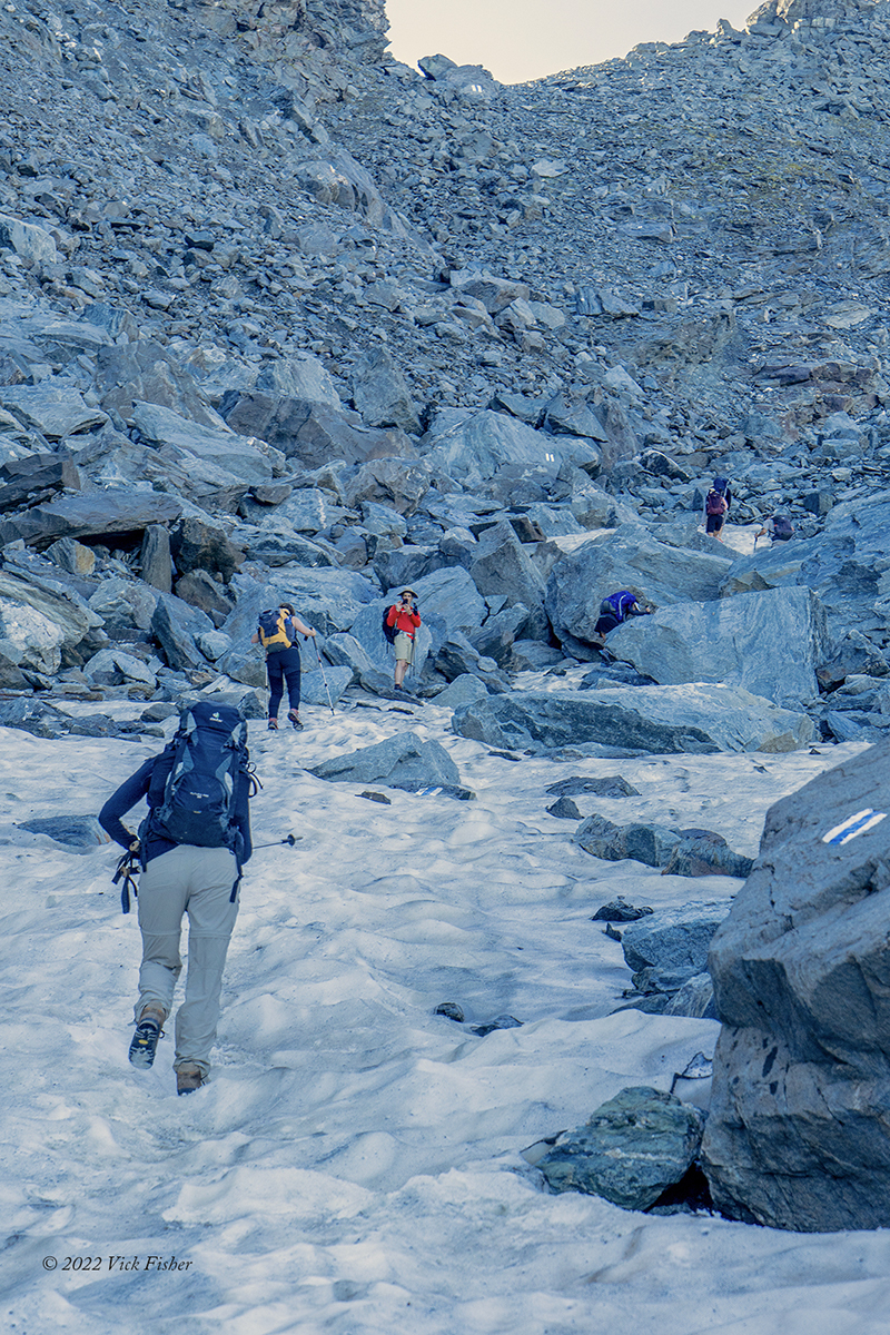
There were two ways to go from Mont Fort, around or over. Our group chose to go straight up and over the steep, rocky pass.  It turned out there was still some hard-packed snow left in the shadows. It wasn't too slippery. In the photo, Jennifer is closest, then Robyn, Jeff stopped to take a photo, and his wife Mary working her way up. 

glacier, melting, rocky, Swiss Alps, Haute Route, hiking, outdoors, wilderness, mountains, nature, beauty, rivers, tree line, altitude, big sky, valley, trail, Prafleury, Mont Fort, mountain hut, cabane, montaigne, randonner, valle


In this area, our guide Dan told us we needed to stay fifteen feet apart and stay silent, so we could hear if any rocks started to fall towards the group. We had all heard about a tragic incident in Italy earlier a few weeks before, where ice holding the rocks on the side of the valley melted, and released a rockslide.

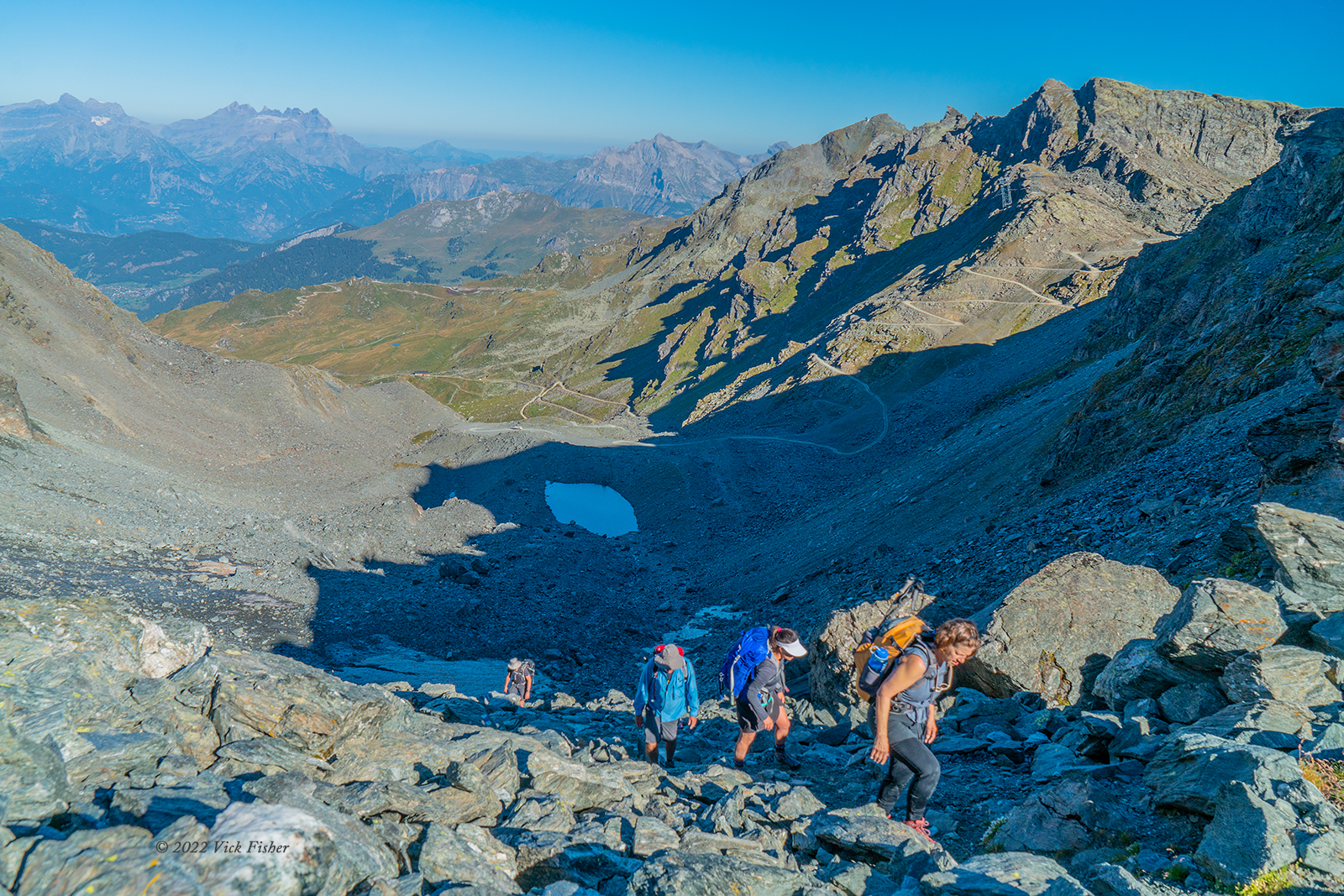
Mont Fort is way below at this point. That's Greg, then Larry, with Benee coming up behind. 

glacier, Swiss Alps, Haute Route, hiking, outdoors, wilderness, mountains, nature, beauty, rivers, tree line, altitude, big sky, valley, trail, Prafleury, Mont Fort, mountain hut, cabane, montaigne, randonner, valle

It got very rocky for a while. Even with the painted trail blazes it wasn't easy to see which way to go. Just before this picture, Carol slipped and split her lip on a rock that was near face level (it being so steep there).  After that happened, our guide Dan came back to help.  Here he is helping others find the best way through. You can get an idea of how steep it is by the way Larry (blue jacket) is standing. 

glacier, Swiss Alps, Haute Route, hiking, outdoors, wilderness, mountains, nature, beauty, rivers, tree line, altitude, big sky, valley, trail, Prafleury, Mont Fort, mountain hut, cabane, montaigne, randonner, valle


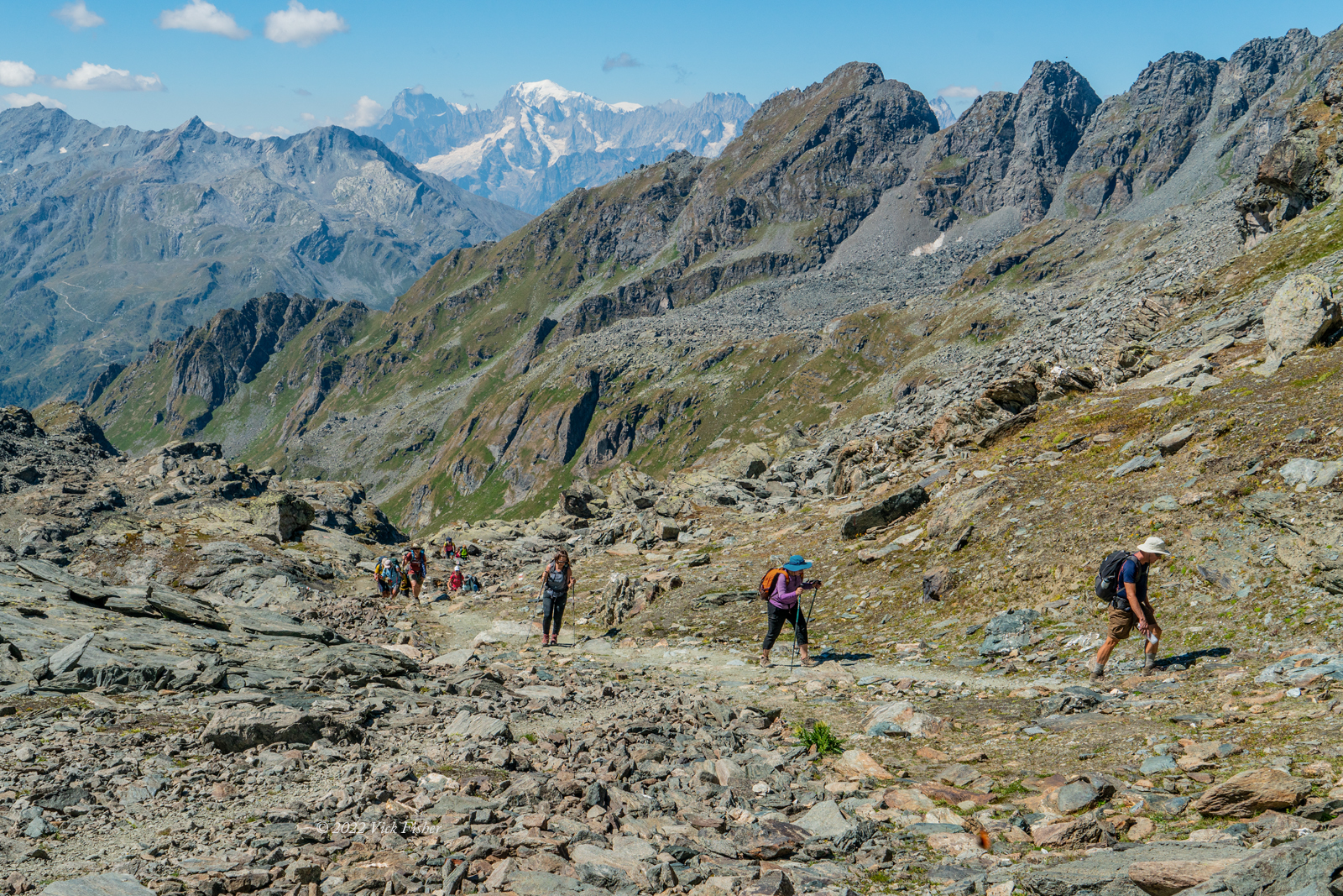
Soon after, we finally emerged into the sunlight as we reached the pass. Here are Robyn, Mary, Larry, and Greg in the home stretch. 

glacier, Swiss Alps, Haute Route, hiking, outdoors, wilderness, mountains, nature, beauty, rivers, tree line, altitude, big sky, valley, trail, Prafleury, Mont Fort, mountain hut, cabane, montaigne, randonner, valle

After hiking down the other side of the pass and toward our second pass, we had this view of Gran Combin, with it's glacier, on the far side of the valley.  This is the same mountain we saw on the way into Mont Fort the previous afternoon. You can see a meltwater lake just below, on our side of the valley. When we left lunch, we went the opposite direction from all that, uphill toward our second pass of the day. 

glacier, Swiss Alps, Haute Route, hiking, outdoors, wilderness, mountains, nature, beauty, rivers, tree line, altitude, big sky, valley, trail, Prafleury, Mont Fort, mountain hut, cabane, montaigne, randonner, valle

Almost to the second pass of the day. Chris and Benee in the lead there, with Robyn third. 

glacier, Swiss Alps, Haute Route, hiking, outdoors, wilderness, mountains, nature, beauty, rivers, tree line, altitude, big sky, valley, trail, Prafleury, Mont Fort, mountain hut, cabane, montaigne, randonner, valle

As we came up over the second pass, we saw this ibex sitting in the sun on some rocks. We only saw about four of these in all the days we were in the Alps. I saw "only" because a family hiking the same route said they had seen about fifty ibex hanging around the Prafleuri hut at dawn two years before. They had close up pictures. I was very jealous. 

wildlife, ibex, Swiss Alps, Haute Route, hiking, outdoors, wilderness, mountains, nature, beauty, rivers, tree line, altitude, big sky, valley, trail, Prafleury, Mont Fort, mountain hut, cabane, montaigne, randonner, valle


We had a stream crossing on the way to the next pass. The water was from the nearby melting glacier, so it was ice cold. Since it was over a foot deep in places, we all took off our boots and socks and crossed it barefoot. The water quickly froze my feet, so the rocks on the bottom were pretty painful! One of my biggest photographic failures of the trip - you see me in the foreground, panicking and stuffing my camera and phone away before I even took a single photo of the crossing. Luckily, Benee had the presence of mind to take this one.   


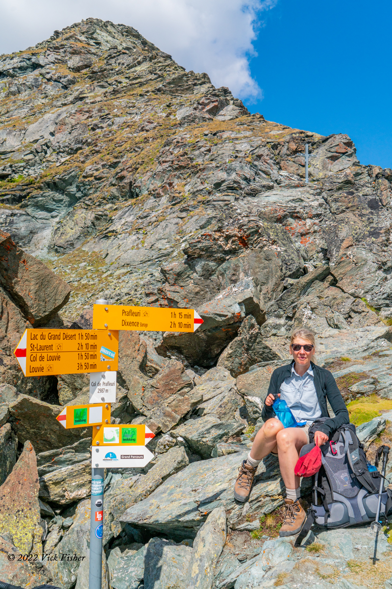
Anyway, we finally made it to the Prafleuri Pass. The signs have times of how long the Swiss authorities expect each hike to take. Our group was always somewhat slower than those times, and we were moving at a good pace. Those times are if you hike fast, and don't stop for water or snacks. 

moutain pass, sign, beautiful hiker, Swiss Alps, Haute Route, hiking, outdoors, wilderness, mountains, nature, beauty, rivers, tree line, altitude, big sky, valley, trail, Prafleury, Mont Fort, mountain hut, cabane, montaigne, randonner, valle

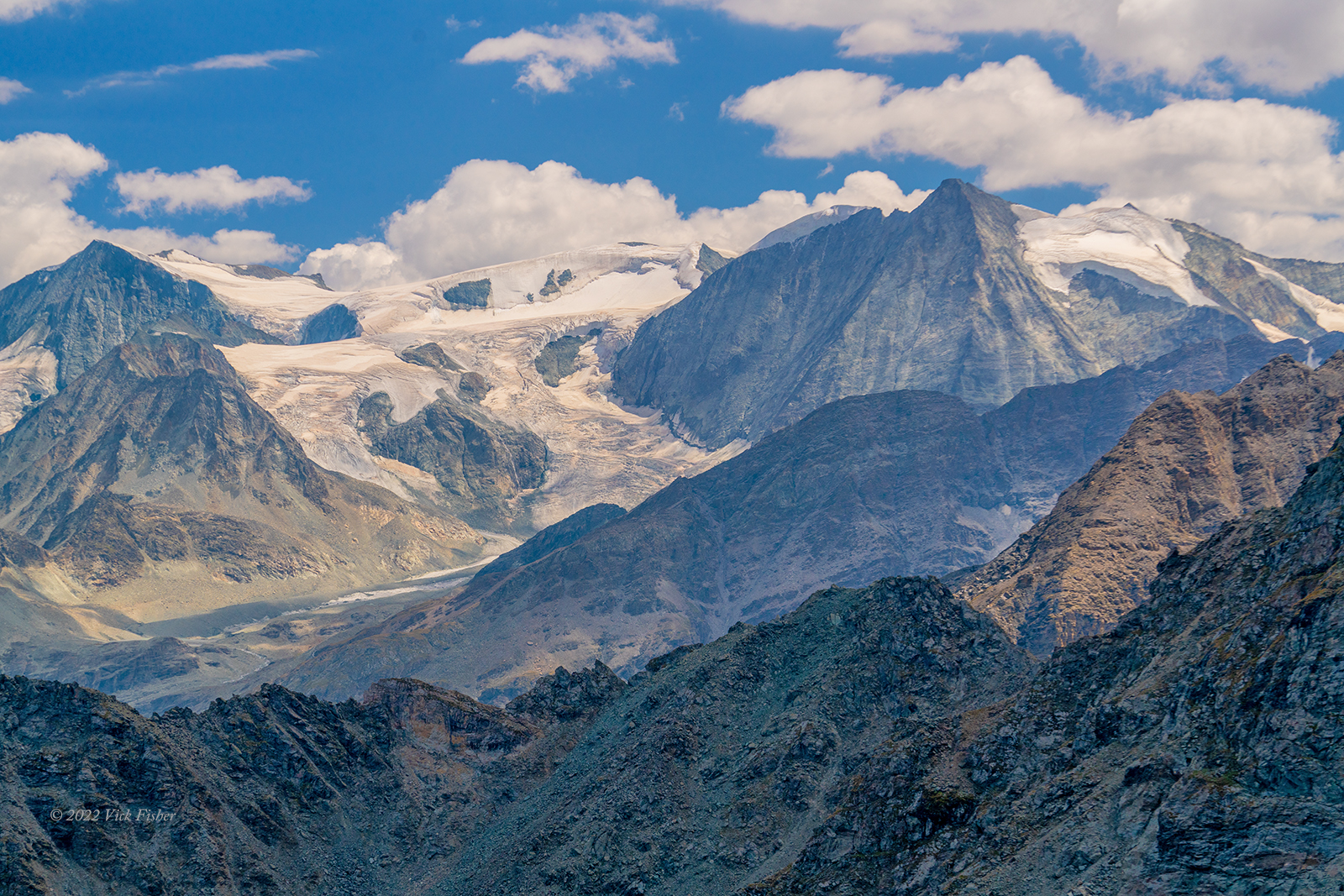
The view from this pass was great. I believe that's the Prafleuri Glacier taking up much of the scene.

glacier, receding, melting, Swiss Alps, Haute Route, hiking, outdoors, wilderness, mountains, nature, beauty, rivers, tree line, altitude, big sky, valley, trail, Prafleury, Mont Fort, mountain hut, cabane, montaigne, randonner, valle

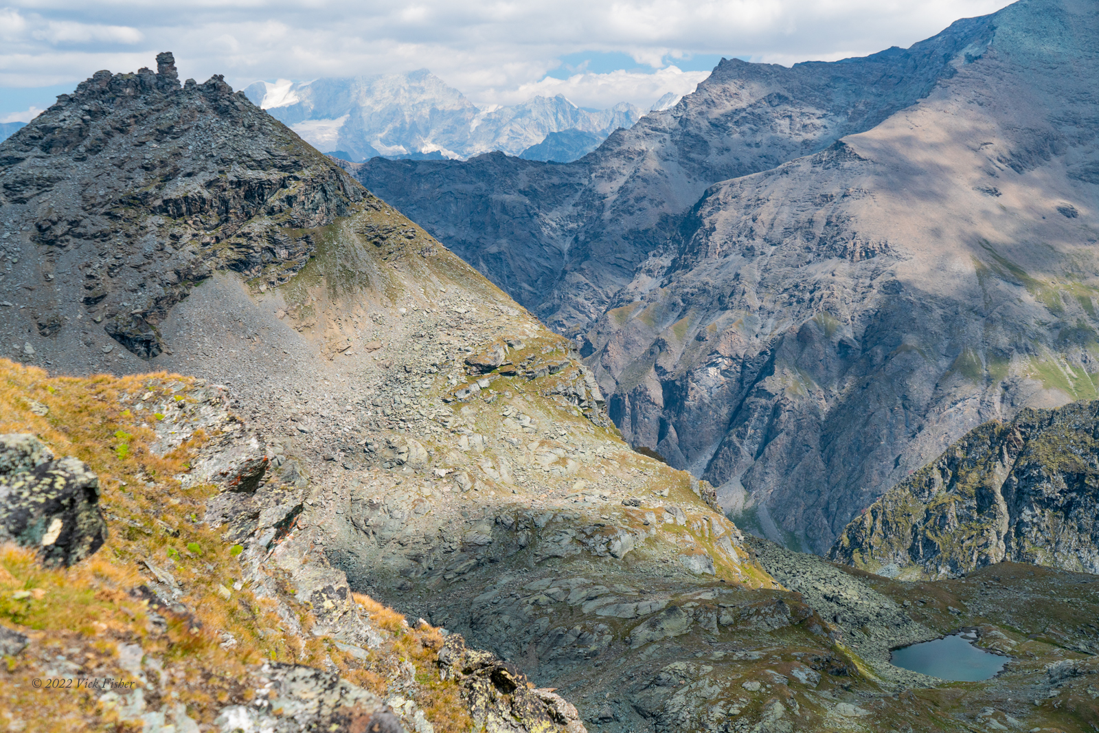
This was the view on the way down from the pass. The hut we're hiking to is out of sight in the valley in the lower right of the photo. 

glacier, receding, melting, Swiss Alps, Haute Route, hiking, outdoors, wilderness, mountains, nature, beauty, rivers, tree line, altitude, big sky, valley, trail, Prafleury, Mont Fort, mountain hut, cabane, montaigne, randonner, valle

On the final part of the hike, we had to cross the alluvial plain, where the water draining from the glacier created a valley of braided streams and sandbars. In winter this would be usually be snow-covered, and in spring, there would be raging rivers of melting snow. 

Swiss Alps, Haute Route, hiking, outdoors, wilderness, mountains, nature, beauty, rivers, tree line, altitude, big sky, valley, trail, Prafleury, Mont Fort, mountain hut, cabane, montaigne, randonner, valle

This is a closeup of a beautiful sandbar created of fine stone particles created by the grinding of billions of tons of glacial ice across the valley floor. These fine particles are deposited along the stream bottom as the water travels down the valley. Branching like this reminds me how the same patterns are seen different places in nature. Leonardo DaVinci remarked on it in his notebooks; about how these are like the branches of a tree, the delta of a river, and veins in humans and animals. 

glacial runoff, artistic nature, river, stream, silt, deposit, tributary, braided, green

Late that afternoon, we made it to the Prafleuri mountain hut. At this one, the entire group of fourteen of us stayed in one large room, with beds laid out on either side of an aisle down the middle, like in an orphanage, except there was no space between the beds. You had to crawl off the end of your mattress to avoid stepping on the person lying next to you. When you're deep in the mountains, a warm bed and a hot meal with a glacial waterfall as backdrop is pretty good. I was too exhausted to bother, but Benee took this photo of our room.


That's all for our epic Mont Fort to Prafleuri hut hike. This is the third post on our Haute Route hiking trip in the French and Swiss Alps. 


Saturday, August 27, 2022

Haute Route Hiking in the Alps: Hiking over Fenetre d'Arpette

After our first two days of moderate hiking, it was time for a big one - the Fenetre d'Arpette, which involved a lot of miles, a lot of hours, a lot of altitude, and long, steep stretches with no real "trail" at all.

The first hour of the hike is flat along the Triente River, which is meltwater from the Triente Glacier.  You could see the glacier up at the head of the valley from the very start. 


I enjoyed the sound of the water over the rocks and around the boulders.  It was early enough in the morning that the sun hadn't reached the valley floor.


These rivers come from melting ice from the glacier. Notice the large area of dry rock. That's where the glacier used to be. The glacier has been melting in summer much faster than it's been replenished by new snow in winter for the last thirty years or so. Thousands of towns and cities around the world rely on meltwater rivers like these for water. What will they do once the glaciers have melted away? 


Years ago, a landslide destroyed the trail, so they put in a rope to hang onto while crossing this slanted muddy area. You can't see it in this photo, but this hillside just drops straight down hundreds of feet. Fun! 


After another hour of steep hiking, we were getting higher up and closer to the rivers and the glacier. You could hear the sound of the roaring waterfalls the whole time. 


Here's a short video of a closeup of the larger waterfalls of meltwater.  Crazy how much water is coming off of this glacier every second. Sadly, youtube has murdered the quality of this video, but this at least give you an idea of how powerful this one is, and it's only one of several draining off all day and night. 


For the last hour or so, the trail was steep enough that you could use your hands sometimes, and turned into nothing but rocks in places. If you're looking at this on a computer screen, you'll be able to see seven other hikers coming down the trail from above. The Fenetre d'Arpette, the top of the pass and high point of the hike, is over the ridge in that dip at the upper right corner. 


Here's the receding "tongue" of the glacier up close. 


We're high up enough to see the glacier and its meltwater streams from the side now.

Nearly there.


A  couple of closer views. 


I really wanted to go hike closer to all that ice. 


Finally, made it to the "window." It never ceases to amaze what a huge new view you get by taking those last few steps to the top.  A whole new series of valleys and ridges we hadn't seen until now. 

All the way up and down the trail, there were trail runners. Of course, they're not running like on a flat surface, but they're hopping and dodging up and down the trail as fast as they can.  Some people do the same trail over and over and time themselves, trying to get their best time. Of course, there are even races across the mountains every once in a while, with extreme athletes completing a series of connected trails like this one in the time it took us to do just one.  

The way down is right here in front of us, but it's so steep going down that we couldn't see it. When people started hiking down, they disappeared from view after only a few steps. 


The first hour or so on the trail down was steep, dry dirt mixed with sliding and rolling rocks. 


If you squint, you can see four groups of hikers scattered along the trail leading down. 


Our guide Mike working his way down. 


A brief rest on the way down.  You can see some other hikers picking their way across the boulders in the background. 


After an hour picking our way between boulders, it seemed like we must be getting near the bottom. In fact, we were only a third of the way down.     


OK, that's the last of the photos for this hike. 


Click here to see the hike after that, from the Mont Fort mountain hut to the Prafleury mountain hut.


Popular Posts